SP3.1: Targetting snow drift and refreezing in glacier mass budgets with machine learning
Subproject 3.1
Targetting snow drift and refreezing in glacier mass budgets with machine learning
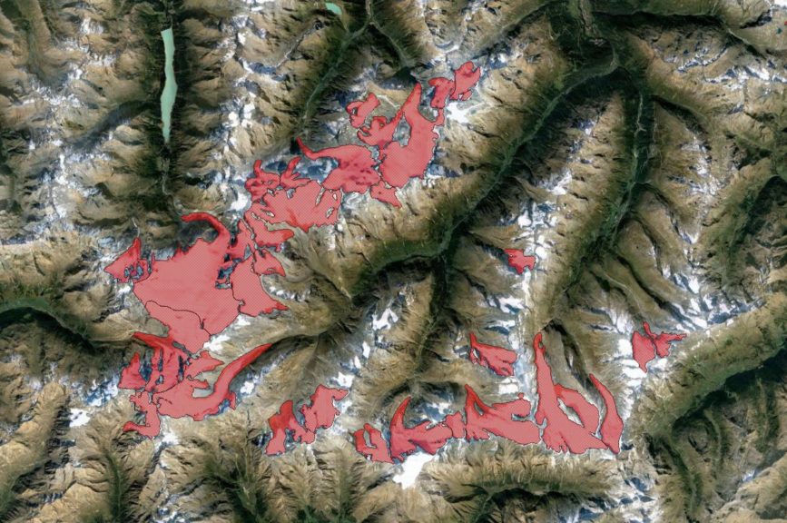
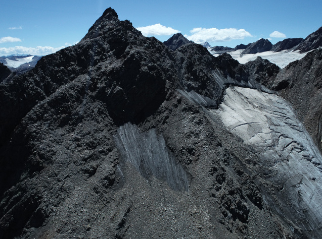
Glacier surface mass balance (SMB) modelling has traditionally focused on improving the determination of surface energy balance conditions. However, water routing in the firn including refreezing, as well as the complex patterns of surface accumulation caused by snow drift, are poorly, or not at all, represented in most SMB models. Studies in the literature have often noted the uncertainties due to neglecting such mechanisms. This sub-project aims to improve the model representation of (i) the internal water budget and (ii) the snow drift contribution to the SMB using deep learning.
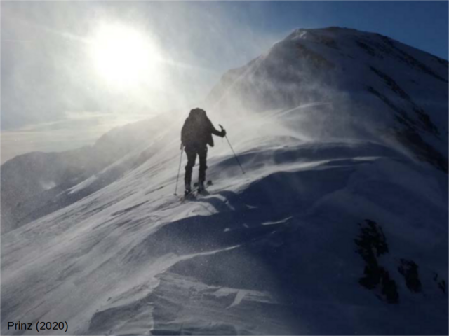
This aim links ideally with ongoing snowdrift measurements on Hintereisferner in the frame of a running joint project between FAU and the University of Innsbruck (http://schism-project.info/). It furthermore links very well with our strong background in SMB modelling and developing process-based model parameterizations. We hypothesize, however, that the accuracy of such parameterizations can be increased drastically by including machine learning algorithms and new measurements on snow drift dynamics.
In this subproject, we will explore the associated added value by sensitivity simulations and analyses of the resultant mass and energy balance components. An improved knowledge of the mechanisms in question is also important for the precise estimation of sea level contributions from glaciers measured from altimetry and DEM differencing (SP2.2 and 2.3), since the measured elevation changes have to be converted to mass using a certain density assumption. The SP also links to SP1.2 and SP1.3 where internal structures of the snow and firn cover are mapped.
For specific information on the sub-project please contact: Prof. Dr. Thomas Mölg, Institut für Geographie, Wetterkreuz 15, 91058 Erlangen, T: 09131-85-22633, thomas.moelg@fau.de, https://www.geographie.nat.fau.de/
Co-PIs: L. Nicholson, R. Prinz (Univ. Innsbruck), R. Hock (Univ. Oslo)
Get to know our project affiliated PhD students
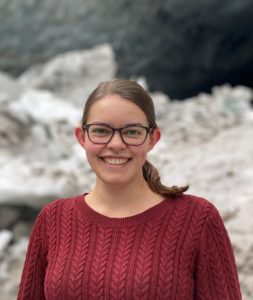
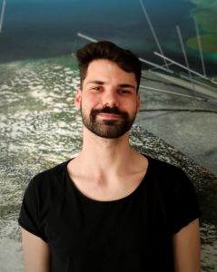
Manuel Saigger
Want to learn more about Manuel’s research? Click here to access a short video!
(the webcam video is from www.foto-webcam.eu)
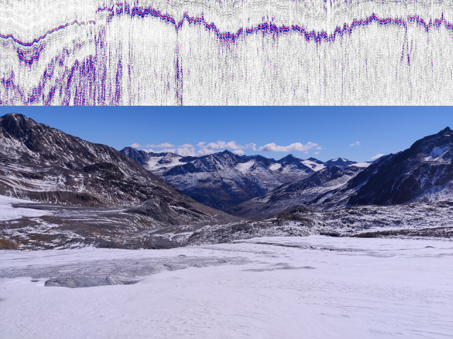
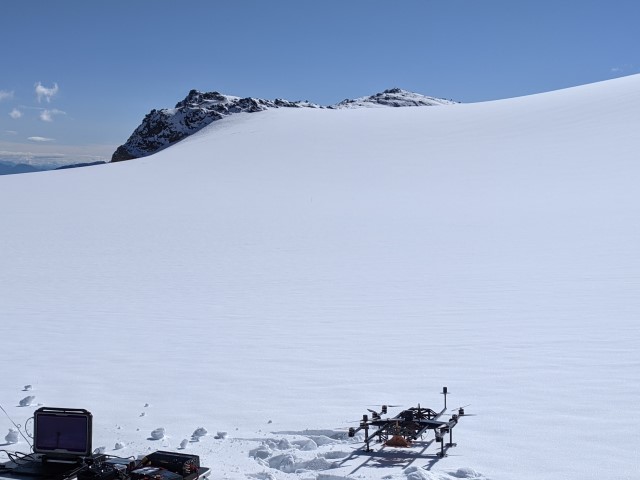
My name is Manuel Saigger and within the IDP MOCCA I will be working on the influence of snow drift and internal refreezing on the glacier mass balance. Before I started working in Erlangen, I studied atmospheric sciences at the University Innsbruck. There I mainly focused on weather forecasting and weather simulations in alpine terrain and got really fascinated by the complex nature of flow fields in the surrounding of mountains. These complex wind patterns can in return lead to very complex patterns in snow accumulation, for example by redistribution of the snow.
Here my project comes into play. Because despite possibly being very important, this redistribution is not reflected in most glacier mass balance models, which on the one hand creates uncertainty in these models, but on the other hand gives us the opportunity to work on this problem and learn more about these fascinating processes.