Reducing uncertainties
SP2.1: Glacier outlines from optical and SAR imagery by deep learning
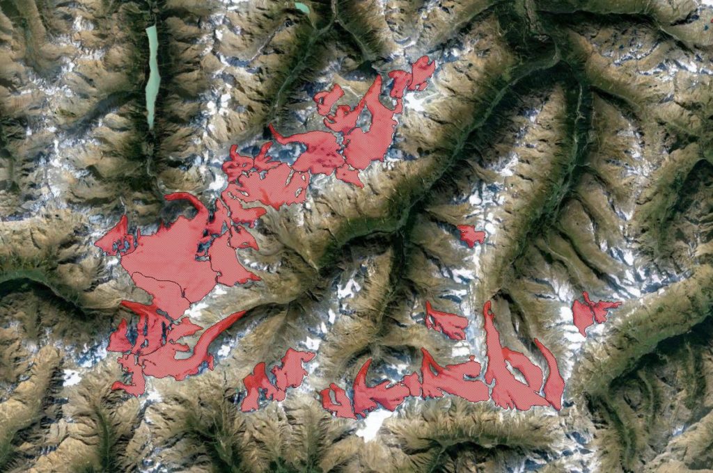 Glacier extent is an ECV and various international attempts exist to harmonize a global glacier inventory data set with outlines…
SP2.2: Radar penetration of TanDEM-X on glaciers & ice caps SAR tomography for 3D imaging of snow and firn structures
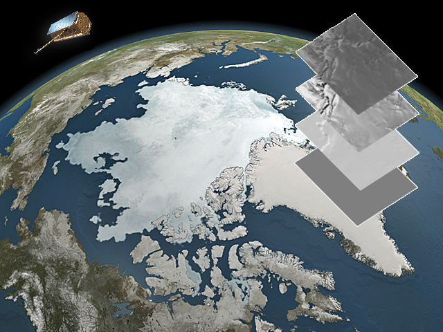 The radar signal can penetrate into snow, firn, and ice bodies depending on liquid water content and internal structure of…
SP2.3: Improved volume to mass conversion
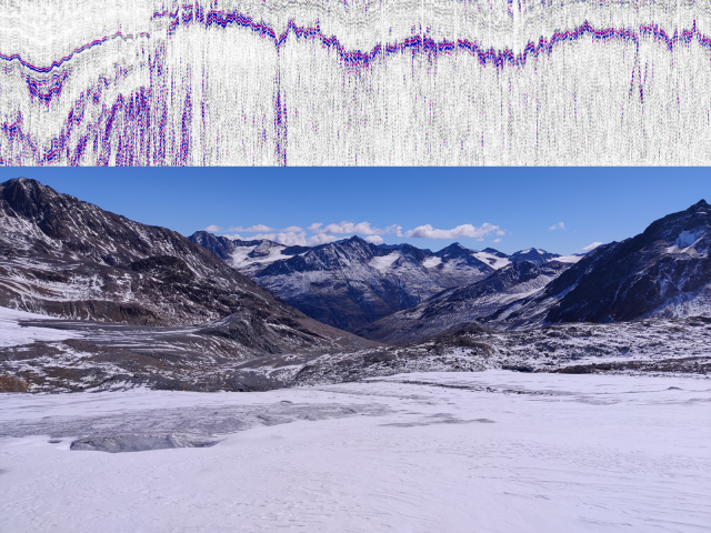 Glacier mass balance variations are an essential indicator for regional and global climate fluctuations. Today, glacier volume changes can be…