SP2.1: Glacier outlines from optical and SAR imagery by deep learning
Subproject 2.1
Glacier outlines from optical and SAR imagery by deep learning
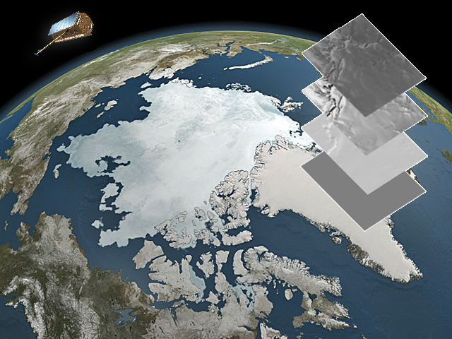
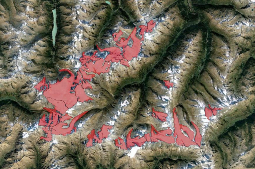
Glacier extent is an ECV and various international attempts exist to harmonize a global glacier inventory data set with outlines if possible from multiple data sources (GLIMS, IASC Randolph Glacier Inventory, RGI).
However, to date no real operational large-scale repeat mapping capabilities exist. Glacier outlines are required at different time intervals e.g. with matching observational intervals for specific mass balance computations out of remote sensing measurements (e.g. for comparison with in-situ observations or on regional scale) or to validate ice dynamic modelling. In particular for small fast changing glaciers area updates are important since errors from area mismatch are highest.
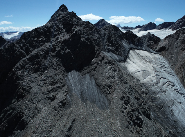
While for calving glaciers various deep learning approaches exist outlines of land-terminating glaciers are often more difficult to delineate, in particular when the glacier tongue is debris-covered. We aim at an approach that integrates the advantages of synthetic aperture radar and optical observation capabilities and analysis techniques. The candidate is supposed to advance our existing processing setup and to develop and systematically test a new method. Within this doctoral project we aim at training a machine learning algorithm using multi-temporal SAR coherence images jointly with other data. This SP has strong thematic links to SP3.2 and 3.3 and methodological to SP 2.2.
For specific information on the sub-project please contact: Prof. Dr. Matthias Braun, Institut für Geographie, FAU, Wetterkreuz 15, 91058 Erlangen, T: +49 9131-85-22015, matthias.h.braun@fau.de, https://www.geographie.nat.fau.de/
Co-PIs: E. Bänsch (FAU Mathematics), P. Rizzoli (DLR HR), M. Zemp (Univ. ZH)
Get to know our project affiliated PhD students
Katrina Bartek
Originally coming from Michigan in the United States, I received my bachelor’s degree in Mechanical Engineering from the University of Michigan in April 2017. After subsequently working in the aviation field for a year, I moved to Munich to pursue my master’s degree in Earth Oriented Space Science and Technology at the Technical University of Munich. This program explored the uses of remote sensing, the technology behind it, and the geophysical processes to be observed. Through this, my desire to pursue research in the cryosphere was inspired and I started research in the Institute of Geography at the Friedrich-Alexander-Universität Erlangen-Nürnberg in May 2021.
This research focused on using deep learning techniques to detect supraglacial lakes in Northeast Greenland using Sentinel-2 data. Having been accepted to the IDP M3OCCA program, I am excited to now pursue my doctoral degree with the focus on the improvement of glacier outline segmentation using various remote sensing data while using the strengths of artificial intelligence.